Martin Dolejš, Ph.D.

Martin Dolejš, Ph.D.
Assistant Professor
Research interests: geoinformatics, geographic information systems, landscape ecology, land use and land cover dynamics
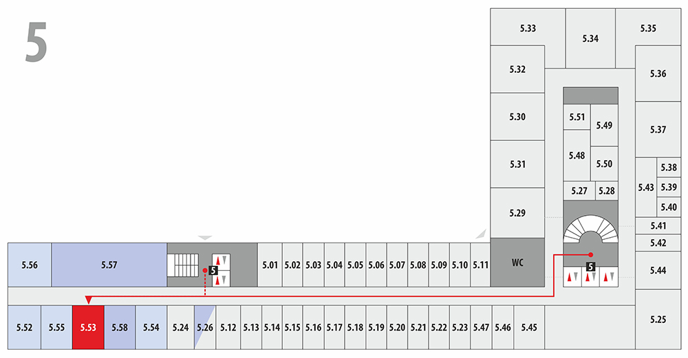
Office: CPTO-5.53, Phone: +420 475 28 6769, E-mail: martin.dolejs@ujep.cz
Personal profile
Martin Dolejš studied geography at Jan Evangelista Purkyně University in Ústí nad Labem (master degree) and Applied landscape ecology at the Czech University of Life Sciences in Prague (Ph.D.). He specializes in geoinformation technologies and their use in geography and landscape ecology. More specifically, topics of the development of land use and land cover, the historical state and structure of landscapes, selected issues of accessibility within the geography of transport, and others.
Education and internships
- 2008 (Bc.) Univerzita J. E. Purkyně v Ústí nad Labem (Geography)
- 2008 Tallinn University, Estonsko (Internship)
- 2010 Süleyman Demirel Üniversitesi, Turecko (Internship)
- 2011 (Mgr.) Univerzita J. E. Purkyně v Ústí nad Labem (Geography)
- 2020 (Ph.D.) Czech University of Life Sciences (Applied and Landscape Ecology)
Academic and professional activities
- 2010–2013 Nature Conservation Agency of the Czech Republic, PLA Kokořínsko – Máchův kraj
- 2013– Department of Geography, Jan Evangelista Purkyně University in Ústí nad
Selected recent papers and publications
- JACKOVIČOVÁ, J., DOLEJŠ, M., RIEZNER, J. (2023): Spatial determinants of the distribution of lynchets and stone walls in NW Czechia: A broad-scale study. Applied Geography, 158, 103036.
- DOLEJŠ, M., RAŠKA, P., KOHNOVÁ, S., SCHINKE, R., WARACHOWSKA, W., THALER, T., KOČICKÝ, D. (2022): On the right track of flood planning policy? Land uptake in Central-European floodplains (1990–2018). Landscape and Urban Planning, 228, 104560.
- SLAVÍK, J., DOLEJŠ, M., RYBOVÁ, K. (2021): Mixed-method approach incorporating Geographic information system (GIS) tools for optimizing collection costs and convenience of the biowaste separate collection. Waste Management, 134, 177–186.
- DOLEJŠ, M., PACINA, J., VESELÝ, M., BRÉTT, D. (2020): Aerial Bombing Crater Identification: Exploitation of Precise Digital Terrain Models. ISPRS International Journal of Geo-Information, 12, 9, 713.
- DOLEJŠ, M., PURCHARD, J., JAVORČÁK, A. (2020): Generating a spatial coverage plan for the emergency medical service on a regional scale: Empirical versus random forest modelling approach. Journal of Transport Geography, 89, 102889.
- RAŠKA, P., DOLEJŠ, M., PACINA, J., POPELKA, J., PÍŠA, J., RYBOVÁ, K. (2020): Review of current approaches to spatially explicit urban vulnerability assessments: hazard complexity, data sources, and cartographic representations. GeoScape, 1, 14, 47–61.
- FOREJT, M., DOLEJŠ, M., ZACHAROVÁ, J., RAŠKA, P. (2020): Quantifying inconsistencies in old cadastral maps and their impact on land-use reconstructions. Journal of Land Use Science, 4, 15, 570–584.
Selected research projects
- GAČR GF23-04520L (2023–2025). Evaluation of hazard-mitigating hybrid infrastructure under climate change scenarios
- GA ČR (2020–2023). Nature and dynamics of local land use conflicts in polyrational environment
- OP VVV (2018–2023). SMART CITY, urban vulnerability modelling
- COST CA16209 (2018–2021). LAND4FLOOD: Natural Flood Retention on Private Land
- TA ČR (2016–2017). Ecohydrological management of urban microstructures
- (2011–2014). InWest, Transfer vědomostí z informatiky pro hospodářský rozvoj sasko-českého příhraničí
Membership
- Czech Geographical Society (2010–)